

Boat Ramp Access
Limited access
Savannah District, U.S. Army Corps of Engineers lists 1 of 2 lanes open.
The listing does not provide a report date.
Source: Usace Corps Lakes Status
View official sourceCurrent lake level 647.73 ft · Oct 31, 2026, 11:00 PM EDT
- Listed Open
Left
ramp end 639.80 ft · unusable below 642.50 ft
- Closed
Right
ramp end 652.00 ft · unusable below 655.00 ft
Published elevations are reference figures; direct comparison with the current lake level awaits datum verification.
Agency reports & ramp detailsView all official reports, elevations, source dates, and additional information.
U.S. Army Corps of Engineers · open · reported 2026-06-02 · retrieved 2026-10-26
Usace Corps Lakes Status · open · reported 2026-10-30 · retrieved 2026-10-30 Source
Savannah District, U.S. Army Corps of Engineers · Jenkins Ferry (Left) · open · report date unavailable · retrieved 2026-10-27 Source
Savannah District, U.S. Army Corps of Engineers · Jenkins Ferry (Right) · closed · report date unavailable · retrieved 2026-10-27 Source
U.S. Army Corps of Engineers · open · reported 2026-06-02 · retrieved 2026-10-26
Jenkins Ferry (Right) · ramp end 652.00 ft · Published unusable elevation 655.00 ft
Jenkins Ferry (Left) · ramp end 639.80 ft · Published unusable elevation 642.50 ft
About Jenkins Ferry
Operated by U.S. Army Corps of Engineers
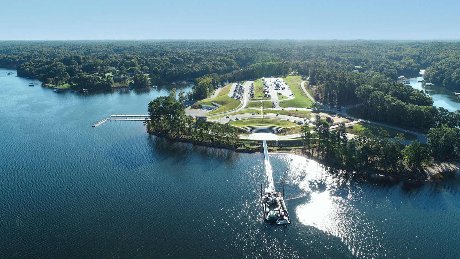
Jenkins Ferry Boat Ramp is a two-lane U.S. Army Corps of Engineers boat ramp on Hartwell Lake in Stephens County, Georgia. The Corps publishes whether the ramp is usable at the current pool elevation.
On-site features
- 2 launch lanes
- Courtesy dock
- Launch fee
Location
Jenkins Ferry Boat Ramp, GA
Photos
Know something about this place?
Share a comment about Jenkins Ferry Boat Ramp with other boaters, or send a correction.