Skip to content
Home
Lakes
AnglerOS
About
Home
Lakes
AnglerOS
About
Login
Bull Shoals Lake
Arkansas / Missouri
Surface Area
45,150
acres
Shoreline
700
miles
Avg Depth
75
feet
Max Depth
210
feet
Managed By
U.S. Army Corps of Engineers
Current Conditions
Forecast
Sun & Moon
Map
CURRENT CONDITIONS
Lake Level
655.15
ft
3.85 ft below full pool
7-Day Trend
↓ Falling
Change from Yesterday
0.27 ft lower than yesterday
Weather
70
°
Cloudy
Baxter County Airport
Updated: April 2, 2026 9:45 am
Wind
15 mph
SSW
Pressure
29.83 inHg
→ Steady
Visibility
10.0 mi
Alerts
No active alerts
×
Hourly Forecast
‹
11am
71°
Chance Showers And Thunderstorms
15 mph S
12pm
73°
Showers And Thunderstorms Likely
15 mph S
1pm
75°
Chance Showers And Thunderstorms
15 mph SSW
2pm
78°
Showers And Thunderstorms Likely
15 mph SSW
3pm
79°
Showers And Thunderstorms Likely
15 mph SSW
4pm
79°
Chance Showers And Thunderstorms
15 mph SSW
›
Weather radar
WEATHER FORECAST
Today
81°
Showers And Thunderstorms Likely
15 mph SSW
Tonight
64°
Chance Showers And Thunderstorms
5–15 mph S
Friday
83°
Slight Chance Showers And Thunderstorms
5–10 mph S
Friday Night
55°
Showers And Thunderstorms
5–10 mph SSW
Saturday
66°
Showers And Thunderstorms
5–10 mph WNW
Saturday Night
41°
Slight Chance Rain Showers then Mostly Clear
0–10 mph NW
Sunday
67°
Sunny
0–5 mph NNW
Sun - Moon
Sun
Sunrise
6:54 AM
Sunset
7:33 PM
Moon
Moonrise
8:29 PM
Moonset
6:58 AM
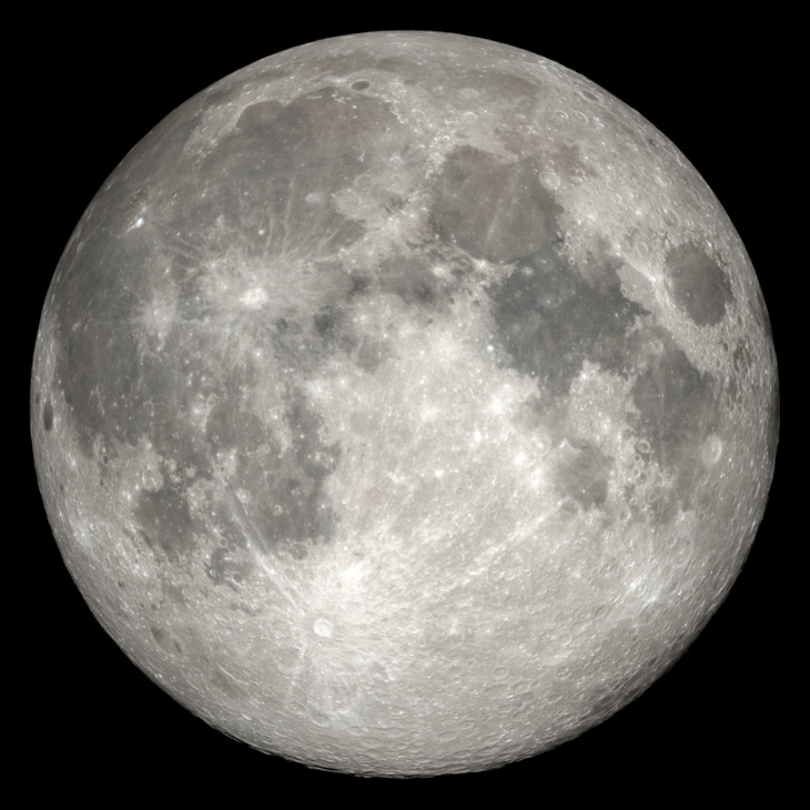
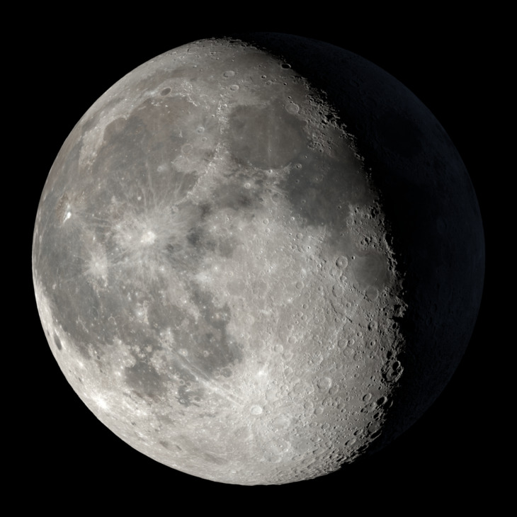
Full Moon
Thursday
Sunrise
6:54 AM
Sunset
7:33 PM
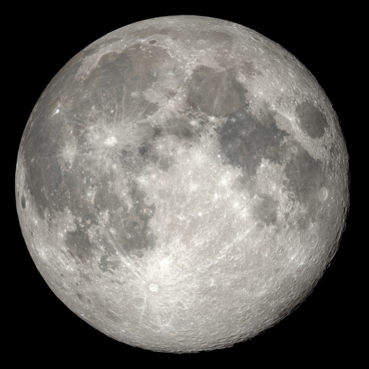
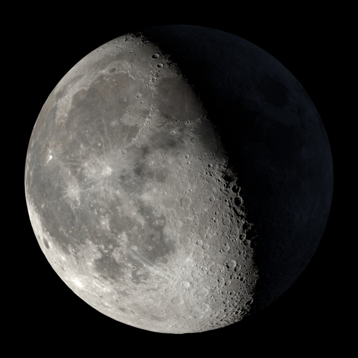
Full Moon
Friday
Sunrise
6:53 AM
Sunset
7:34 PM
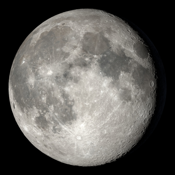
Waning Gibbous
Saturday
Sunrise
6:51 AM
Sunset
7:35 PM
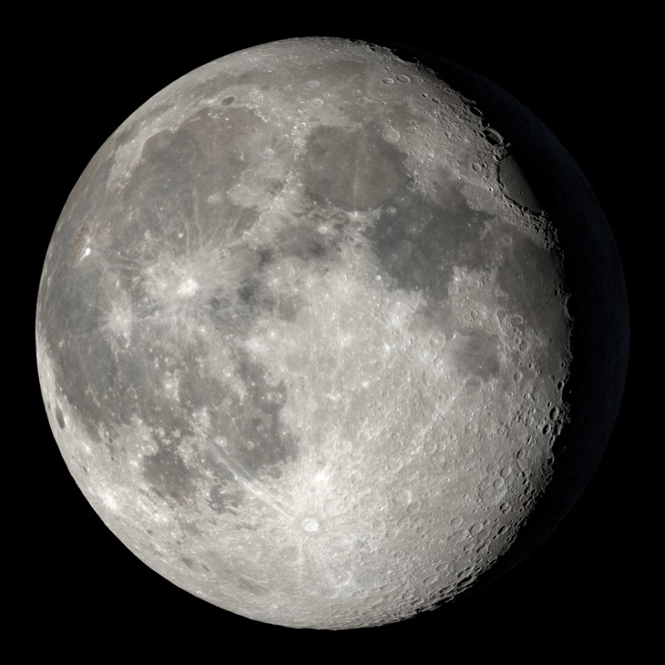
Waning Gibbous
Sunday
Sunrise
6:50 AM
Sunset
7:36 PM
Waning Gibbous
Monday
Sunrise
6:48 AM
Sunset
7:36 PM
Waning Gibbous
Tuesday
Sunrise
6:47 AM
Sunset
7:37 PM
Waning Gibbous
Wednesday
Sunrise
6:45 AM
Sunset
7:38 PM
Waning Gibbous
Lake Map